Archive for Civil3D

So Long, and Thanks for All the Fish

It seems like all I ever write up around here is notice of change. Here’s the last one from me.

Esteemed community player, professional engineer, author, twitterati, and cool-cat Kati Mercier, P.E. is taking over civil3d.com civil4d.com. The site will probably be randomly up and down for the next couple of days, but bear with us as we get it all worked out. If you have questions, you can find her on twitter: @kdinctpe.

That’s all for me, exiting to the left. Thanks.

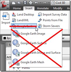
Civil 3D 2013 says goodbye to Google Earth

While there are a few nice enhancements in Autodesk’s AutoCAD Civil 3D for 2013, unfortunately there seems to be something missing. image

Civil 3D 2013 will not have Google Earth extensions. This may seem inconsequential to many, however it is an absolute life saver in so many workflows. This will unfortunately set the industry back a step by removing a process that gave engineers and planners access to geo-referenced images and terrain models instantly in Civil 3D, a process that we’ve enjoyed since 2008.

Read more

2013 “Hidden” Feature

Short post today folks, but not short on usefulness.  One thing I hear a lot of is “I love the auto-linework I get from the survey database, but I can’t use that linework for my construction drawings because of two things.

Read on.

Read more

Turning Background Parcel Segments Off

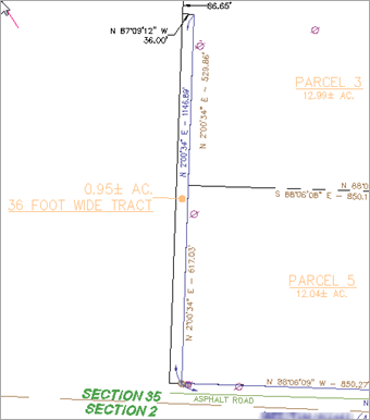
Autodesk AutoCAD Civil 3D ParcelUsing Autodesk’s AutoCAD Civil 3D Parcels makes short work of conventional subdivision layout, as well as more intricate work like overall parcel boundary divisions and phases. One thing we always try to adhere to is the foundation rule of working form an overall region towards more defined smaller regions. This requires an initial parcel to be established on a site before more can be divided. During the creation, Parcel Segments are created in the background, and remains invisible and harmless until you want to do some fancy footwork. That’s where we come in.

Desired Outcome

Let’s say one of your retention parcels is to be developed in another phase, and the client absolutely does NOT want that parcel, or even the outline to be visible. Good Luck.

Read more

Autodesk labs | Interactive Terrain Shaping for Civil 3D

imageThe toolset that many have been waiting for was just released on Autodesk labs. The Interactive Terrain Shaping for AutoCAD Civil 3D. These tools give Civil 3D users the capability to shape and mold various features related to grading, with direct pick, apply, and drag functionality. The Labs site stated that the intent was to "facilitate the development of comprehensive grading plans that can be easily tuned through the development cycle".

image

A new Ribbon tab is installed in Civil 3D, and contains numerous tools including terrain feature shapes, including:

Read more